Six Destinations
at the End of the Earth
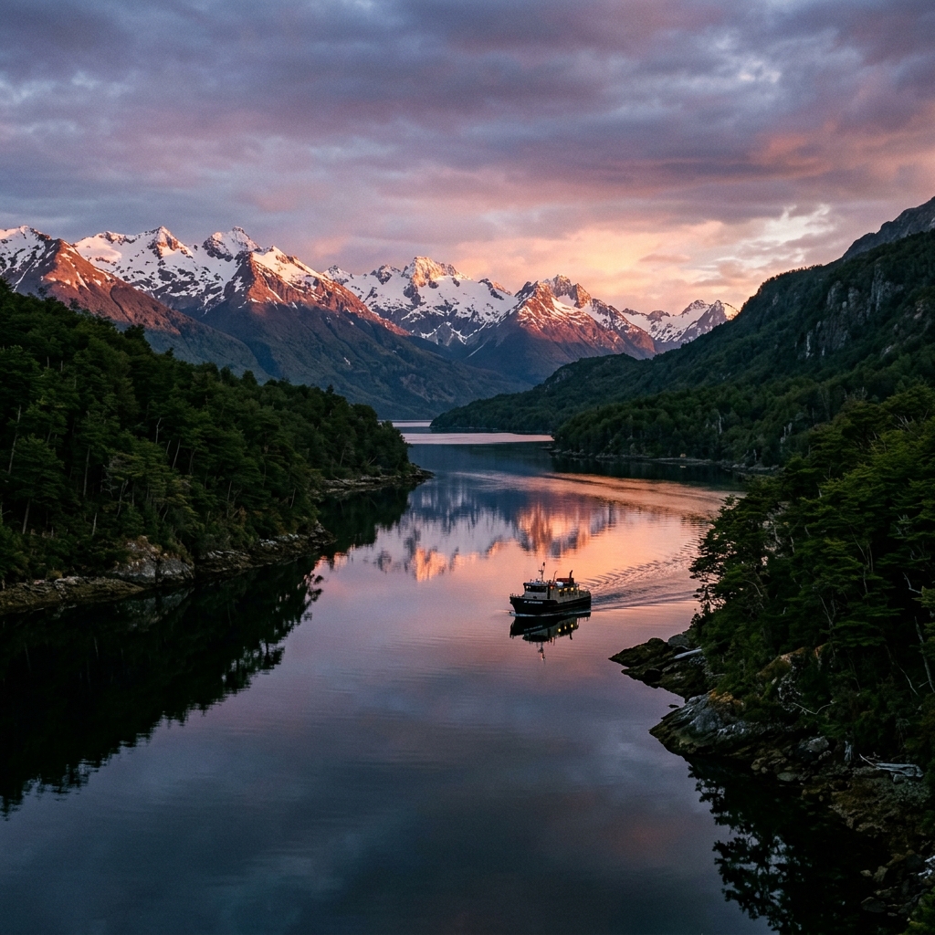
The Magallanes and Chilean Antarctic Region encompasses the southernmost administrative territories of Chile. This section documents key geographic locations across the Strait of Magellan, the Tierra del Fuego archipelago, and the sub-Antarctic islands. These areas are characterized by sensitive ecosystems, significant maritime history, and ongoing conservation efforts.
Cape Horn
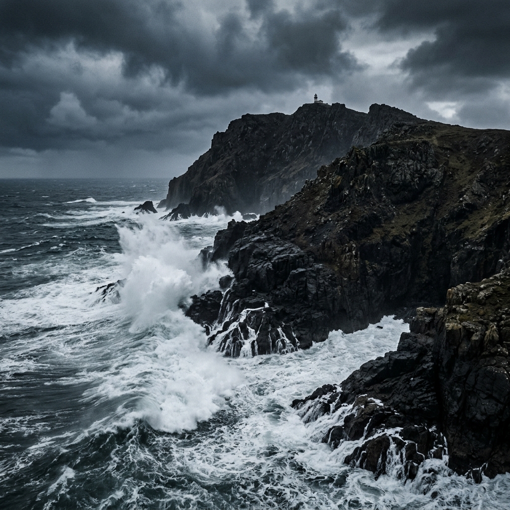
Cape Horn (Cabo de Hornos) is located at 55°58'S within the Cape Horn Archipelago. It marks the convergence of the Atlantic and Pacific oceans and is the focal point of the UNESCO Cape Horn Biosphere Reserve, established in 2005.
The island holds historical significance in global navigation and is administered by the Chilean Navy, which maintains a lighthouse and meteorological station on site. Nearby geographic references include the Diego Ramírez Islands to the southwest and Puerto Williams to the north.
Responsible visiting note: Access is strictly regulated by the Armada de Chile and CONAF to protect the fragile sub-Antarctic vegetation.
Puerto Williams
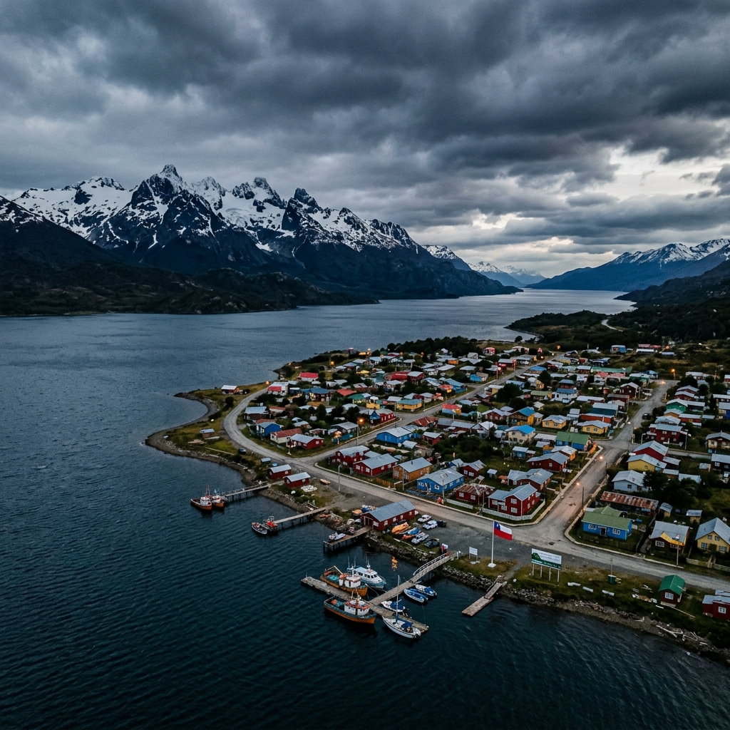
Puerto Williams is located on the northern coast of Navarino Island along the Beagle Channel. Recognized by the National Statistics Institute (INE) as the southernmost city on Earth, it serves as the administrative capital of the Commune of Cabo de Hornos and the Chilean Antarctic Province.
It is a primary logistical hub for scientific and maritime expeditions heading to Cape Horn and Antarctica. The city is also home to the Museo Antropológico Martín Gusinde, which documents the cultural heritage of the Yaghan people. Nearby locations include Puerto Toro and the Dientes de Navarino mountain range.
Responsible visiting note: Visitors to the Dientes de Navarino circuit and Omora Ethnobotanical Park must register with local authorities and follow trace-free hiking guidelines.
Punta Arenas
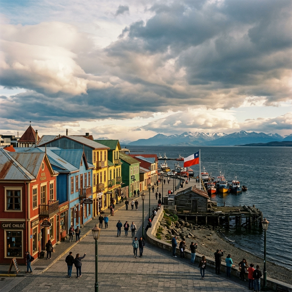
Punta Arenas is the regional capital of Magallanes, situated on the western shore of the Strait of Magellan. Founded in 1848, it developed as a major maritime supply station prior to the opening of the Panama Canal and later became the center of the region's wool industry.
Today, the city is Chile's principal gateway for Antarctic research, hosting the headquarters of the Instituto Antártico Chileno (INACH). Nearby historical and natural sites include Fuerte Bulnes and the Isla Magdalena penguin colony (Monumento Natural Los Pingüinos).
Responsible visiting note: When observing wildlife in the Strait of Magellan or nearby reserves, visitors are required to use certified local operators to minimize ecological impact.
Tierra del Fuego
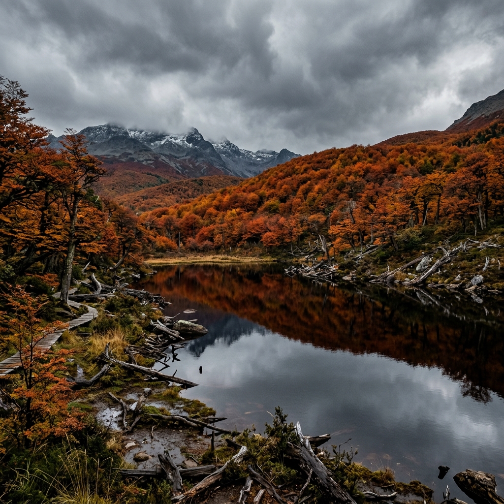
Tierra del Fuego is the largest island in the Magallanes Region. The Chilean territory of the archipelago is characterized by extensive lenga beech forests, peat bogs, and the glaciated Cordillera Darwin. The area holds significant historical connections to the Selk'nam people.
The region contains multiple protected areas, including Yendegaia National Park (established in 2014) and Karukinka Natural Park, which together preserve hundreds of thousands of hectares of sub-Antarctic ecosystems. Notable nearby locations include the town of Porvenir and the Vicuña-Yendegaia Route.
Responsible visiting note: Environmental regulations strictly prohibit unauthorized fires, off-road driving, and the disturbance of archaeological sites across the island.
Beagle Channel
The Beagle Channel is a navigable strait approximately 240 kilometers long, separating the main island of Tierra del Fuego from Navarino, Hoste, and other islands to the south. It was extensively surveyed between 1830 and 1836 by HMS Beagle under Captain Robert FitzRoy.
Historically navigated by the maritime Yaghan people, the channel is now a vital route for scientific and naval vessels. Notable nearby geographical features include the Yendegaia fjord and the Pia Glacier in the Cordillera Darwin.
Responsible visiting note: Marine traffic must adhere to strict maritime authority guidelines to prevent the disruption of marine mammal habitats and seabird colonies.
Strait of Magellan
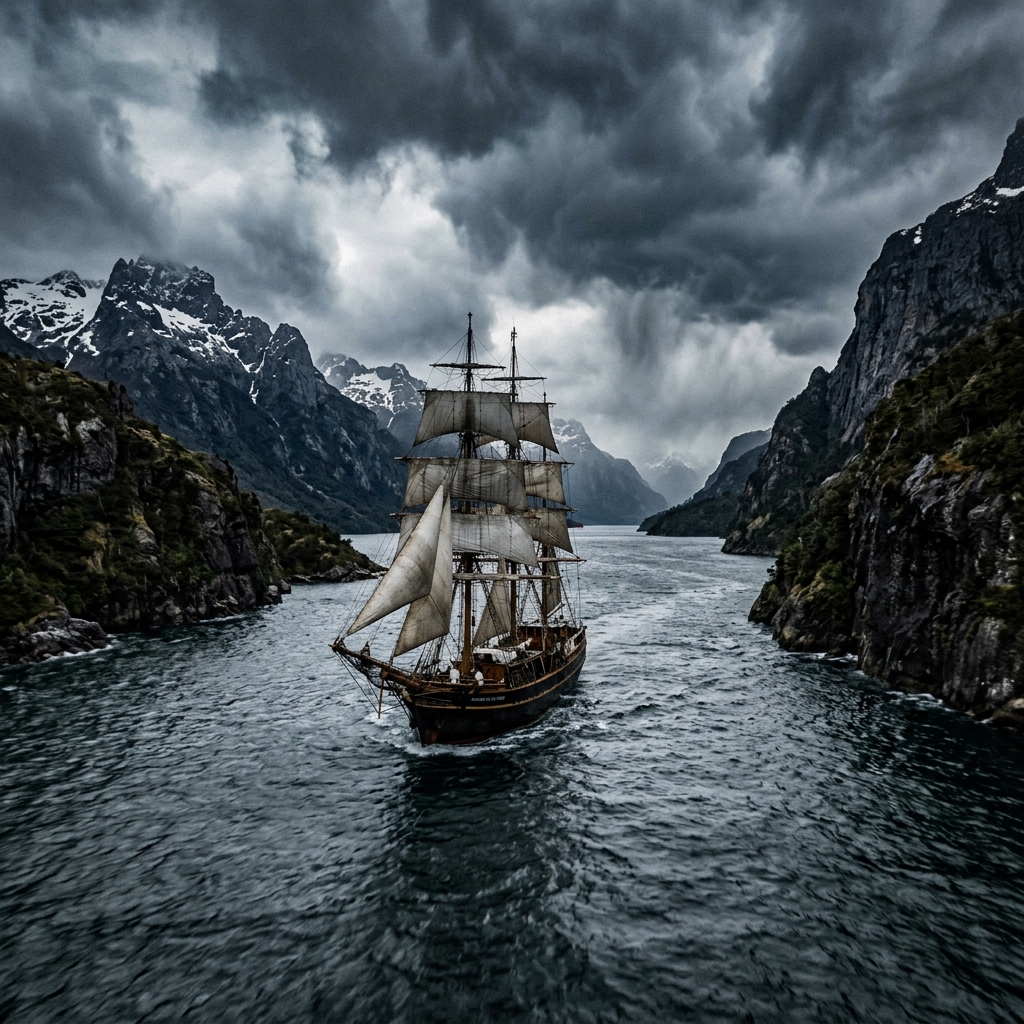
The Strait of Magellan is a 560-kilometer natural passage connecting the Atlantic and Pacific oceans. First transited by the Magellan-Elcano expedition in 1520, it remained the primary route for maritime trade between the oceans prior to the opening of the Panama Canal.
The strait separates mainland South America to the north from Tierra del Fuego to the south. Key geographic points along the passage include Punta Arenas, the Primera Angostura narrows, and Cabo Espíritu Santo.
Responsible visiting note: Marine observation activities, such as whale watching in the Francisco Coloane Marine Area, are regulated by SERNATUR and require minimum approach distances to protect wildlife.